Hands-On Review
Typhoon Saudel Could Revive as Early as Tonight: Latest Updates + Essentials to Prep First
Typhoon Saudel weakened only to make a comeback, with a sea warning potentially issued as early as tonight. Here is a breakdown of its current track, the most reliable official ways to check school and work closures, and 5 essentials to prep before the storm hits.
Lately, people have been asking our inbox non-stop, "Is Saudel really coming back?" The answer is yes—after making landfall in Zhejiang, China on August 28 and weakening, the typhoon's remnant low-pressure circulation drifted all the way back into the South China Sea and merged with active convection. By the morning of September 1, it officially stabilized and re-intensified into a mild typhoon (tropical storm). Its center is located at 19.3°N, 112.1°E, tracking eastward at 15 km/h, with a central atmospheric pressure of 996 hPa and maximum sustained winds near the center reaching 18 m/s. This post breaks down the latest developments, the most reliable places to check for school and work closures, and the essentials you should have ready before the storm hits—ideal for anyone who hasn't started prepping yet but is already feeling anxious.
What's Going on with Saudel's "Resurrection"?
Saudel, which had previously weakened and dissipated, reconnected with convection in the South China Sea and organized into a tropical depression before heading northeast. By 8:00 AM on August 31, it regained tropical depression status, and by the following morning (September 1), it had already re-strengthened back to mild typhoon intensity. The Central Weather Administration (CWA) currently evaluates that it "will not directly hit Taiwan," and the probability of issuing a sea typhoon warning is relatively low. However, if it weakens slower than expected, a sea warning could be issued as early as tonight (the evening of September 1), though a land warning remains even less likely. What really warrants attention isn't the storm itself, but the moisture carried in by its peripheral circulation—from August 31 to September 2, central and southern Taiwan as well as the Hualien and Taitung areas are prone to short-duration intense rainfall, with localized heavy rain or even torrential downpours on the table. Things are evolving fast over these couple of days, with track and intensity estimates undergoing rolling updates. Please treat the CWA's latest real-time announcements as the ground truth, and don't rely on the numbers in this post for what things will look like tomorrow or the day after.
Who to Trust for School and Work Closures: The 2 Most Reliable Official Channels
News headlines love sensationalism, but when it comes to whether school and work closures are genuinely happening, only two sources give you the real deal. The first is the Directorate-General of Personnel Administration (DGPA) national portal (the official DGPA website or its official LINE account), which updates simultaneously whenever a county or city government issues an announcement. The second is the Central Weather Administration (CWA) official website or the "Disaster e-Pass" (防災e點通) app, where you can check real-time rainfall data, severe weather warnings, and typhoon tracking maps—much faster than waiting for news outlets to rehash them. Based on the confirmed announcements as of right now (September 1), the affiliated kindergarten of Shoushan Elementary School in Gushan District, Kaohsiung City is operating normal work with classes suspended, while Shiwen Village in Chunri Township and Changle Village in Manzhou Township, Pingtung County have suspended both work and classes. However, these are individual calls made by local authorities based on actual ground-level rainfall, not unified nationwide closures. Whether other counties and cities will suspend work and school on September 2 has not yet been announced. Keep one of these official channels handy on your phone so you'll know immediately if the rain situation takes a turn.
Prep These Essentials Before the Typhoon Hits
You don't need to wait until an official warning is called to rush out and wrestle through crowded aisles. Having these few essentials on hand before typhoon conditions arrive will give you immense peace of mind.
An umbrella is an obvious must. Typhoons bring the fiercest combination of wind and rain, and standard umbrella ribs easily buckle or snap. Choosing an umbrella with thicker ribs and marketed wind-resistant construction will hold up better, and a larger canopy design is much more practical for commuting or picking up children. To be honest, most mass-market umbrellas don't provide third-party test data to verify their wind resistance; if you encounter serious gale-force gusts, your safest bet is still taking cover under shelter—umbrellas aren't bulletproof, after all.
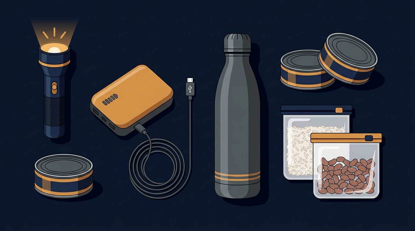
Lighting equipment is the first gap to fill. Your smartphone flashlight won't last very long during a blackout, whereas a dedicated flashlight or headlamp runs much longer and uses power far more efficiently. A headlamp also frees up both hands so you can deal with other tasks. Keep at least one in an easily visible spot at home.
A power bank is equally essential. The biggest dread during a power outage is a dead phone, which cuts you off from checking the latest weather updates and school/work closure notices. Going with a capacity of 20,000 mAh or higher is much safer. Don't forget to keep it fully charged during normal times, too—don't wait until typhoon day only to realize it's sitting empty.
Water storage containers are just as critical. In the event of a water outage, having portable water buckets or large-capacity water bladders is the only way to get through the dry spell. The risk of water cuts is noticeably higher in mountainous regions and older neighborhoods, so this is definitely not something to skimp on.
For shelf-stable dry goods and canned foods, look for items that can be eaten straight from the can without turning on the stove and have a sufficiently long shelf life, just in case you have to rely on them for several meals in a row. On the savory side, you can stock ready-to-eat meat cans. For products like Korean-style luncheon meat, sodium content frequently exceeds 600 mg per 100 g. Past sampling tests by consumer organizations on commercial canned luncheon meats revealed that over 80% fell into the high-sodium category. The WHO recommends keeping daily sodium intake under 2,000 mg, so remember to pair them with vegetables or drink plenty of water—don't eat them as regular meals every day. If you want a change of pace, canned fruit is another option. Popular staples like canned mandarin oranges or yellow peaches are mostly packed in syrup, which packs on quite a bit of extra sugar. They're totally fine for occasional emergencies, but I wouldn't recommend relying on them as a sustained staple.
Don't forget waterproof storage or sealable bags either. Packing your phone, IDs, and important documents into waterproof bags protects them from being ruined by moisture if water starts seeping in or if you have to move things abruptly.
A Quick Word Before Wrapping Up
Just a reminder before I sign off: this post was compiled from publicly available data released by the CWA and various news outlets—it isn't an official meteorological forecast. Saudel's track and intensity are still shifting over these next couple of days. Whether work or school gets suspended and whether you need to take precautions early should always be based on the real-time notices from the CWA and your local city or county government. Looking at these figures, my personal take is that this isn't your textbook severe typhoon strike, but rather a localized risk driven by short-duration intense rainfall. Still, because conditions can shift so rapidly, having your storm supplies ready beforehand is always far smarter than scrambling out the door at the last minute. That's my takeaway for now; if there are fresh changes to the track or warnings, I'll be back to update this post.
Sponsored